Unity of Command 2: Berlin DLC – Bag some rations for the road
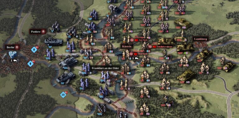
I don’t know anyone better equipped to assay Unity of Command 2’s last expansion pack than THC’s man in Lithuania. As Martynas Klimas has spent around 220 hours cheek by jowl with 2×2’s hexy masterpiece, his take on this “fitting endnote for the series” is worth its weight in Nazi gold. Over to you, Martynas.