Using the following clues (the map above is purely decorative) in combination with Street View and tools like MAPfrappe, work out my location.
Although Roman, THC’s chief puzzlewright, would be interested to know how long it takes you to solve this solo foxer, he’d rather you didn’t put spoilers or solutions in the comments.
Today I’m in a town-cum-village with a population of under 2000 people. The town-cum-village is in a country that has Steyr AUGs on its Wikipedia page. Closer to a cemetery than a petrol station, I’m about sixty metres from a public bookcase and approximately 1.3 kilometres from an unusual (in this part of the world) example of Roman engineering. Within a thirteen mile radius of my location are three neighbouring countries, all of which have a red stripe on their flag. I’m equilongitudinous with a venue Muse have played this year, and a city that hosted an important summit in the mid Fifties.
You’re probably in the right place if you can see…
- An owl
- A trampoline
- Blossom
- A church
- An electric vehicle charging station
- The word “VOIE”
- The word “DURCHFAHRT”
- The word “ELTRONA”
- A metal ponderer
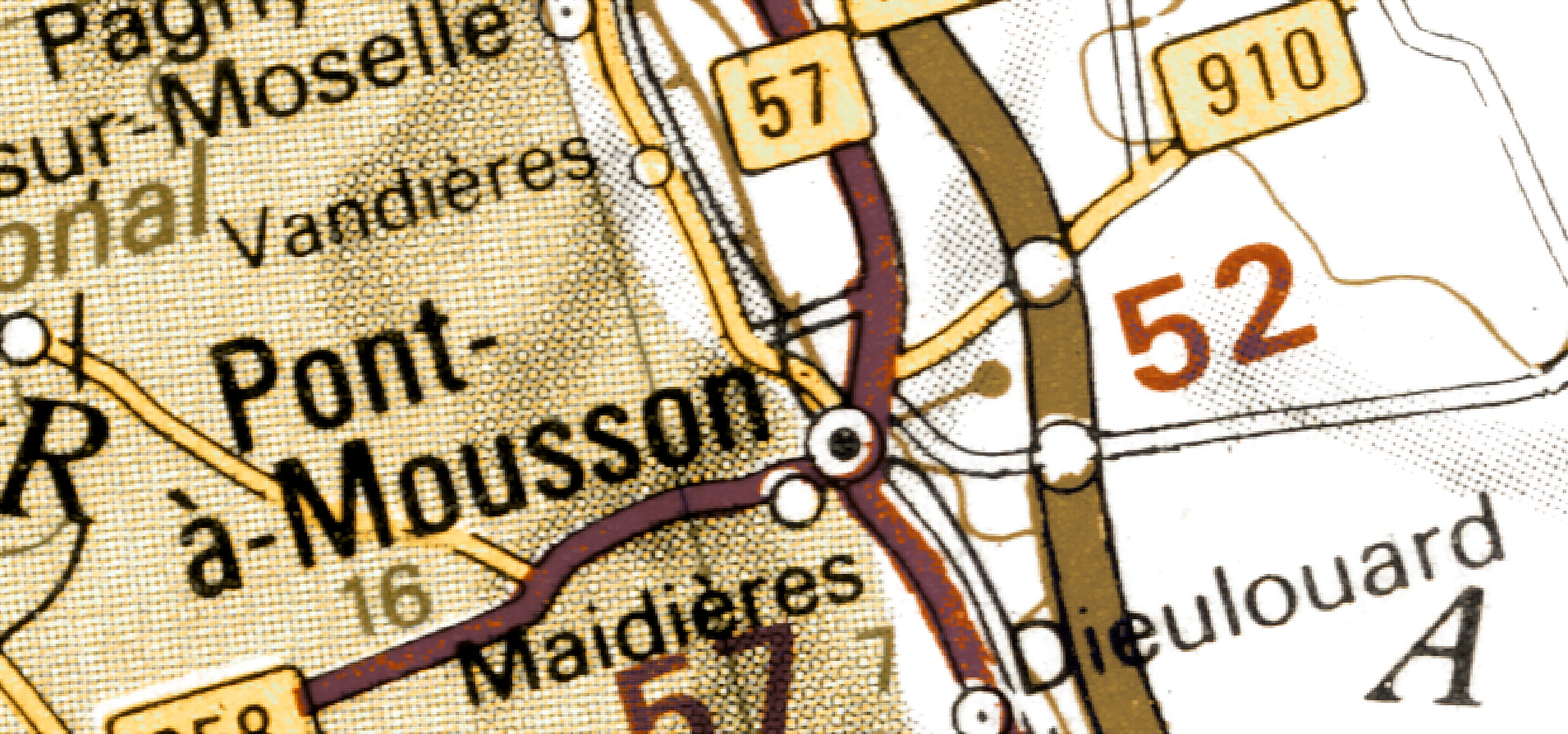
I’m not in Pont-à-Mousson.
(Last week I was here)


An owl ahoy! I though I had a chance of joining the ten minute club this week but was undone by Streetview.