Using the following clues (the map above is purely decorative) in combination with Street View, MapFrappe and other tools, work out my location.
Although Roman, THC’s chief puzzlewright, would be interested to know how long it takes you to solve this solo foxer, he’d rather you didn’t put spoilers or solutions in the comments.
Today I’m 562 metres above sea level in a town that has an ungulate on its coat of arms, and a name that needs no explanation. The nearest funicular railway is less than 300 metres away. It would take me around four minutes to cycle to the nearest fire station. In May of this year, the country I’m in issued one of the dullest postage stamps imaginable. The male national football team supported hereabouts hasn’t lost a match since December last year. About a mile from an airport that used to be home to a squadron of British-made jets, I’m equilongitudinous with an island that was British-controlled for most of the 19th Century, heavily bombed near the end of WW2, and an important location in a 2014 simulator.
You’re probably in the right place if you can see…
- Crutches
- A CityEl
- An Acer palmatum
- The name of a Booker Prize-winning novel
- A stern
- An outsized ice cream
- A level crossing
- A yellow X
- The words ‘TOP OF EUROPE’
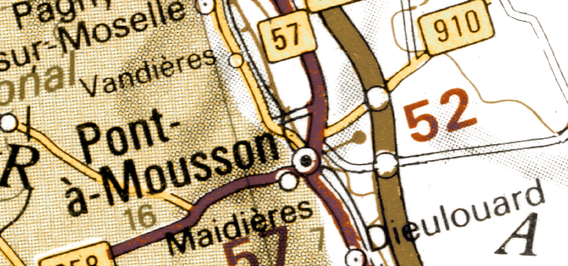
I’m not in Pont-à-Mousson.
(Last week I was here)
Found the place in ~1.5 hr, that was a tough one! It made the find all the more satisfying 🙂
Found everything but the crutches. I can see a walking stick though, does that count?
About 20 minutes (not including crutch hunting.) One particular clue was very helpful early on.