Using the following clues (the map above is purely decorative) in combination with Street View and tools such as MAPfrappe, work out my location.
Although Roman, THC’s chief puzzlewright, would be interested to know how long it takes you to solve this solo foxer, he’d rather you didn’t put spoilers or solutions in the comments.
Today you’ll find me on a Civil War battlefield now largely covered by urban sprawl. Standing next to a bus stop used by number 19 buses (other buses stop there too) I’m roughly a kilometre from an observatory, a prison, a large police station, and a branch of Currys. The city you are seeking has an ex-busman for a mayor, and a listed bus station and a sail-less windmill near its centre.
You are probably in the right place if you can see…
- Gloves
- Lions
- Camels
- Lindens
- Hexagons
- A blue bus
- A Kubota RTV
- SA-80 A2 assault rifles
- A road named after a knighted footballer
- The words “in your spare time”
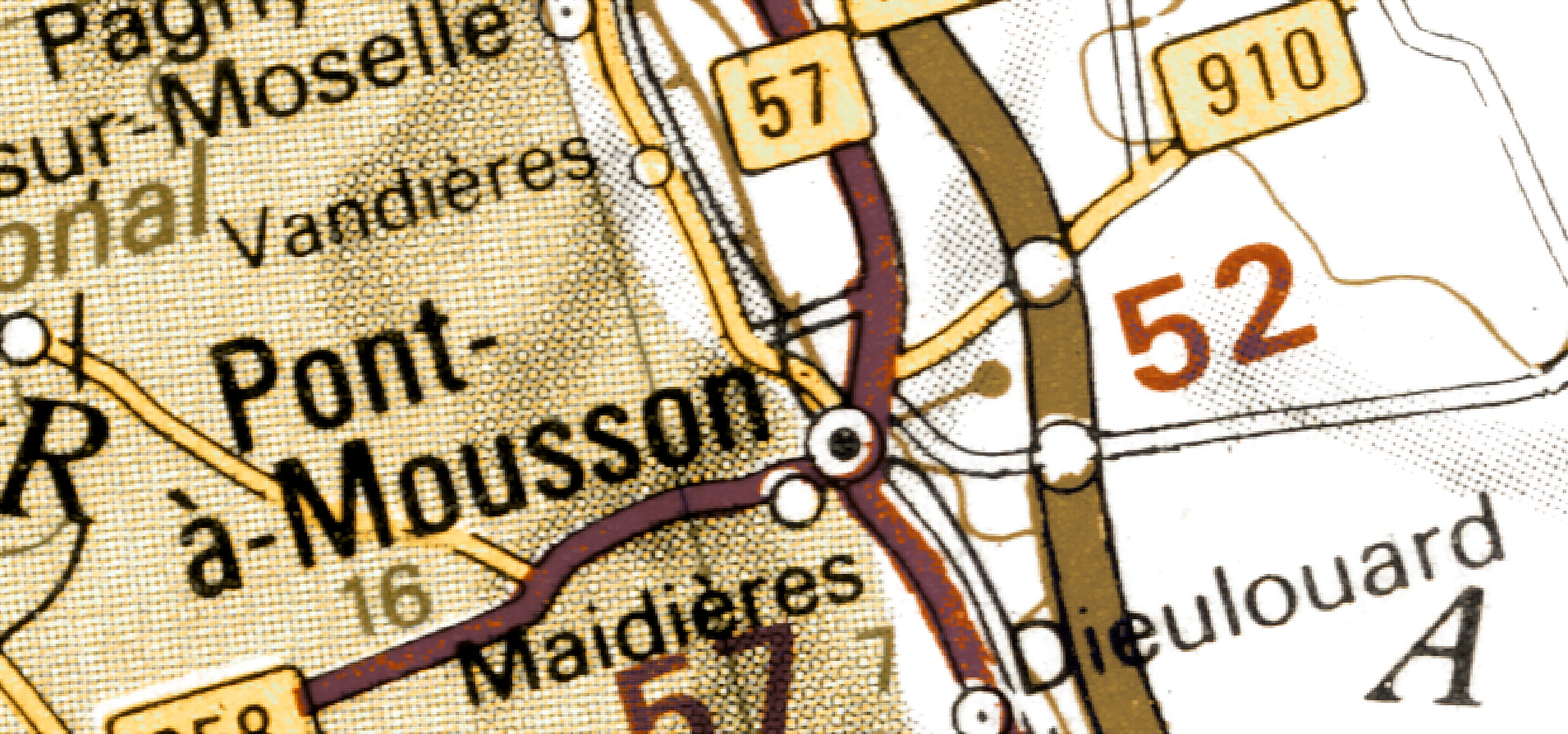
(Last week I was here)
Gloves ahoy! A nice straightforward one this week, although as a wise old Froggster I’ve learnt to double-check as I go so it took a bit longer than if I’d just snatched at it. Only one click away when it came to StreetView.