Unlike the formidable Friday foxers, the Monday kind are designed with lone truth sleuths in mind. While Roman, my Chief Foxer Setter, would be very interested to know how long it takes you to defox the following brainteaser, he requests that the comments section isn’t used to share solutions or drop hints.
“Where am I?”
Using the following clues (the map above is purely decorative) in combination with Street View, Wikipedia, MAPfrappe and other tools, work out my location. The answer will appear under next Monday’s solo foxer.
About ten metres from a church, a mile from a large winery, and 1.5 kilometres from the site of an internment camp closed over seventy years ago, today I’m in a village that flower fans flock to in the spring. The village is in a country that has fewer seats in its parliament than Togo, a flag that lacks both red and blue elements, and a national football team that hasn’t won a match since March. To reach the country’s highest point, a mountain top, I’d need to crow-fly EbN. The mountain in question boasts five ski lifts. The nearest city to my location is on the coast, and has a sister city in common with Caen. I’m equilatitudinous with an island used as a PoW camp in the 1950s.
You’re probably in the right place if you can see…
- A ginger and white cat
- A bell
- Cacti
- A grey Mitsubishi L200
- Several solar-powered water heaters
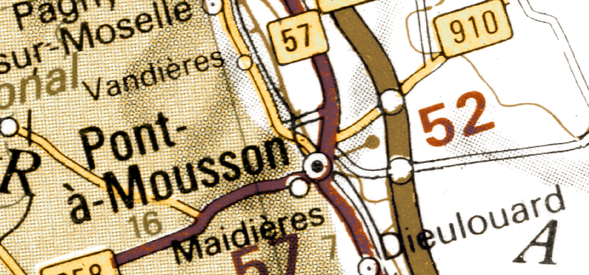
I’m not in Pont-à-Mousson.
(Last week I was here.)
Bell, cacti, water heaters, church, all check. But where are you, cat?