Using the following clues (the map above is purely decorative) in combination with Street View, work out my location.
Although Roman, THC’s chief puzzlewright, would be interested to know how long it takes you to solve this solo foxer, he’d rather you didn’t put spoilers or solutions in the comments.
Today you’ll find me in a country that has issued a triangular postage stamp this year, has no diplomatic mission in one of its neighbours, and has never had a female president or PM. If you scrutinise the photographs on said country’s Wikipedia page you’ll find, in one of them, the coat of arms of Reykjavik. The closest capital city is in another country and is west of my location. Roughly thirty years ago, the closest city to my location gave its name to a 184m-long war machine. Said city has a population of less than half a million, and a name with geological origins. Approximately 62 kilometres SW of a newish tank museum, I’m on a road that leads to an international border. Added together, the three digits in the road’s identifier equal 9. Closer to a petrol station than I am to a church or railway, I’m around ten kilometres from the edge of a nature reserve and a nearby restaurant with a rather pertinent name.
You are probably in the right place if you can see…
- Fake storks
- A bogus windmill
- A counterfeit cannon
- A trijet
- Rowan trees
- Tractor tracks
- Cyrillic letters
- A lung-shaped wood
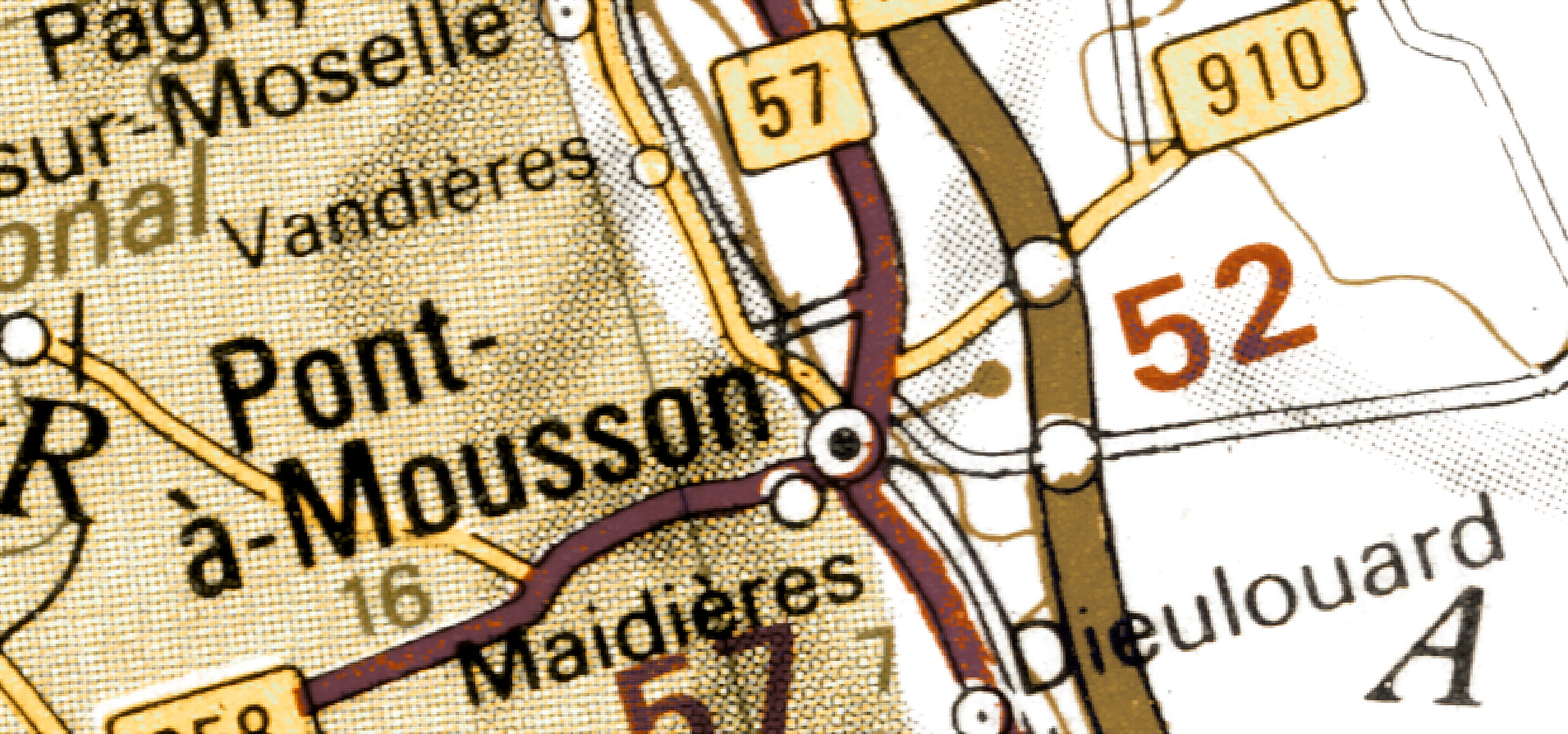
(Last week I was here)